 Length: 12 km
Category: easy
Surface: 60% earth, 30% gravel, 10% asphalt
Duration: up to 1 h 20 min
Location: Ćićarija
Start: Brgudac 721 m above sea level
Finish: Brgudac 721 m above sea level
Difference in elevation: 58m
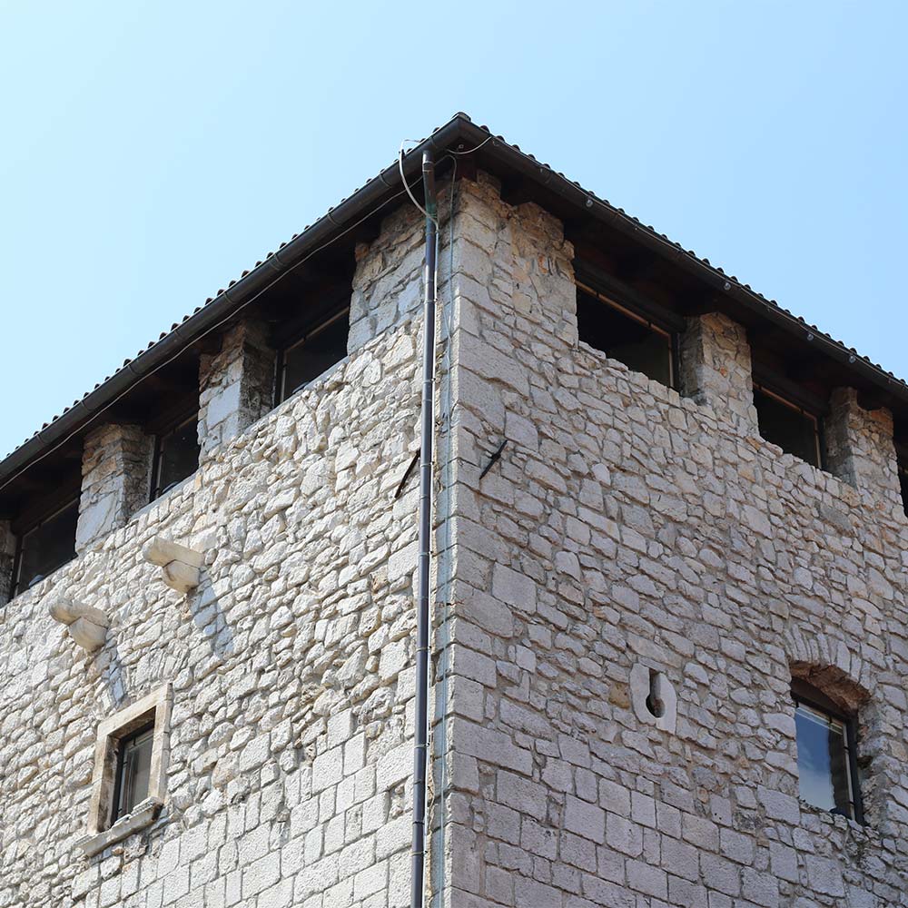
At the foot of Planik and Brajkov vrh, at the end of a rather small karst field, lies Brgudac, the most easterly village of Ćićarija. Here we have marked out a route whose simplicity makes it the right choice for beginners or those who simply prefer enjoying unspoilt nature. This enjoyable trail passes through cool, shaded woods and for the most part has earthen surface. When you reach the end, if you are still looking for more exercise and adventure, then hike on to the Burguška korita source area – you won’t regret it.
Download the Učka Bike brochure
Download GPX track
Download KML track
| elevation (m a.s.l.) | km | ||
|---|---|---|---|
| Brgudac | 720 | 0 | |
| Turning from asphalt | left | 700 | 1,0 |
| Turning for Semići | left | 700 | 1,1 |
| Beginning of the circular route | left | 690 | 2,7 |
| Turning at Moljevi dvori | straight | 710 | 5,7 |
| Arrival to the road for Planik | right | 680 | 6,4 |
| Turning for Brest | right | 690 | 6,8 |
| Turning from the wide road to the forest path | left | 700 | 7,5 |
| Turning for Semići | right | 700 | 8,0 |
| Joining the road that comes from the turning point | straight | 700 | 9,0 |
| Arrival to the joining point of the circular point | straight | 690 | 9,1 |
| Turning for Semići | right | 700 | 10,8 |
| Back to the asphalt | |||
| Brgudac | 720 |
12,00 |


